Central Asia Wire
Independent Central Asia Monitor
Breaking
Kremlin reports “full understanding” on its Tajik base, which Dushanbe’s account omitsKyrgyzstan makes ElCat sole operator of international internet traffic, with no end dateArmenia will publish its draft constitution on 23 November, Pashinyan tells parliamentUzbek water minister now calls 6 to 10 billion cubic metres for Qosh Tepa acceptable
Politics

Wildfire burned 76.4 percent of Mongolia’s Numrug reserve, satellite mapping shows

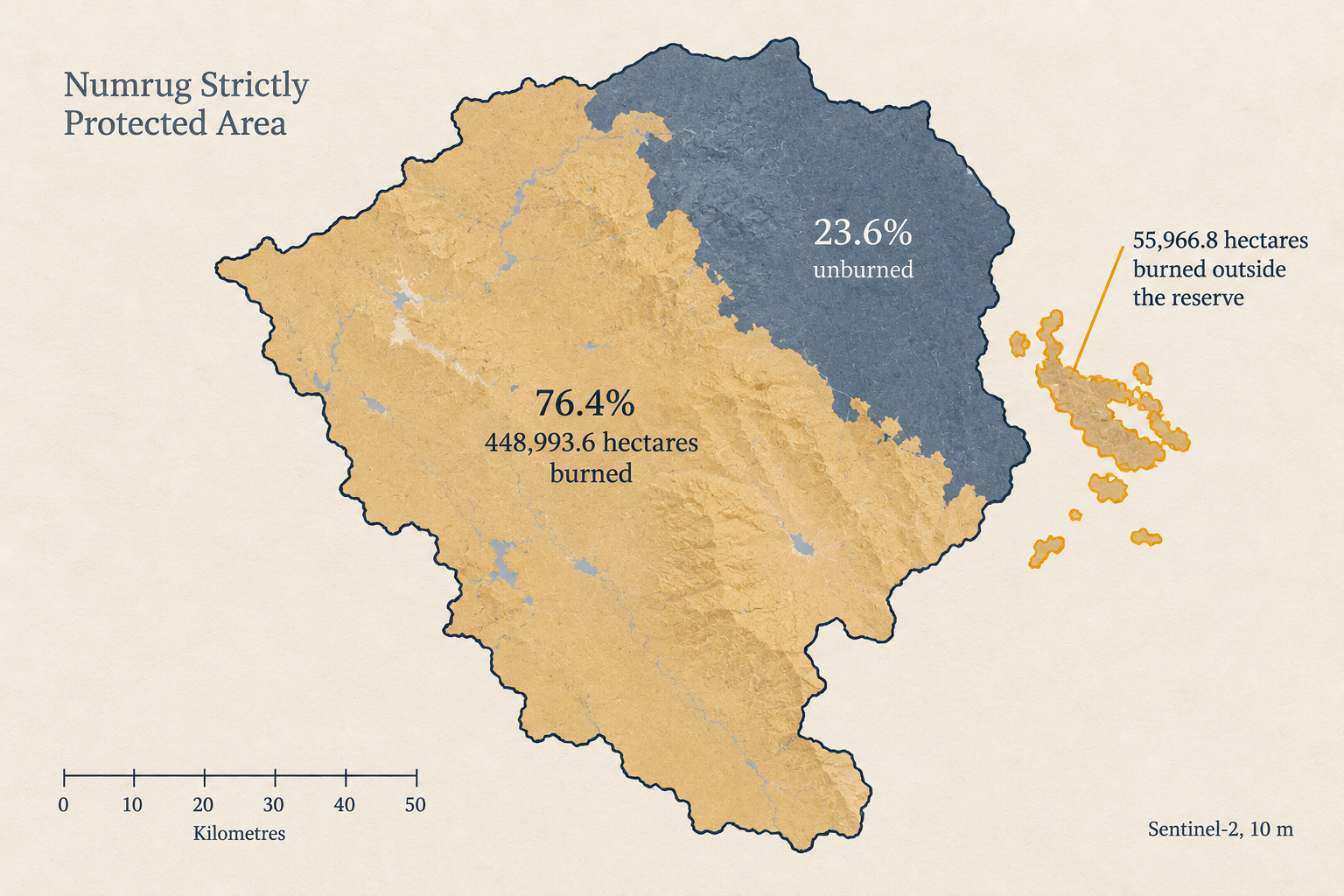
A fire that broke out on 8 October affected 448,993.6 hectares, or 76.4 percent, of the 587,744.1-hectare Numrug Strictly Protected Area in Khalkhgol soum of Dornod aimag, plus 55,966.8 hectares outside it, Montsame reported at 11:36 Ulaanbaatar time on 28 October, citing Sentinel-2 mapping by the national meteorological institute. The total is 504,960.4 hectares.

Schematic map of the Numrug reserve with 448,993.6 burned hectares shaded and the area burned outside it outlined in amber.

The figures come from the Satellite Applications and Remote Sensing Division of the Institute of Meteorology, Hydrology and Environmental Research, which mapped the burn at 10-metre resolution from Sentinel-2 imagery, Montsame wrote.

A working group of forensic experts, forestry and plant specialists is doing fieldwork in the area with two helicopters. The reserve sits in Khalkhgol soum, on the Chinese border in Mongolia’s far east.

Montsame’s text gives no cause of the fire and no compensation figure, and carries no finding from the working group.

The numbers are the mapping’s, to a tenth of a hectare. The cause and the cost are the working group’s to report.